Relocating to Merritt Island: Your Practical Guide

Moving to Merritt Island can feel exciting and a little tricky at the same time. You may already know the Space Coast offers water access, outdoor recreation, and close ties to major employers, but figuring out how Merritt Island is laid out is what really helps you decide where to live. This guide gives you a practical orientation to the island’s geography, housing patterns, commute flow, parks, services, and school research so you can move forward with more confidence. Let’s dive in.
Merritt Island is a census-designated place in Brevard County with 34,518 residents, according to the U.S. Census QuickFacts profile. It has about 16.97 square miles of land, an 81.0% owner-occupied housing rate, a median owner-occupied home value of $379,700, a median gross rent of $1,348, and a median household income of $91,020.
Those numbers point to an established residential community rather than a brand-new suburban expansion. The same census profile also shows a mean commute time of 24.5 minutes and a population with 26.1% age 65 or older, which can help explain why many buyers describe the area as settled, stable, and lifestyle-driven.
If you are new to the area, the biggest thing to understand is that Merritt Island is shaped by water, bridges, and a few major east-west routes. County planning documents describe East Merritt Island as bounded by the Barge Canal north of SR 528, the Banana River to the east, and Sykes Creek and Newfound Harbor to the west, with SR 520 creating distinct north and south patterns.
That matters because daily life can feel different depending on which side of SR 520 you choose. It is less about dramatic separation and more about how residential areas, waterfront streets, and commercial nodes are arranged.
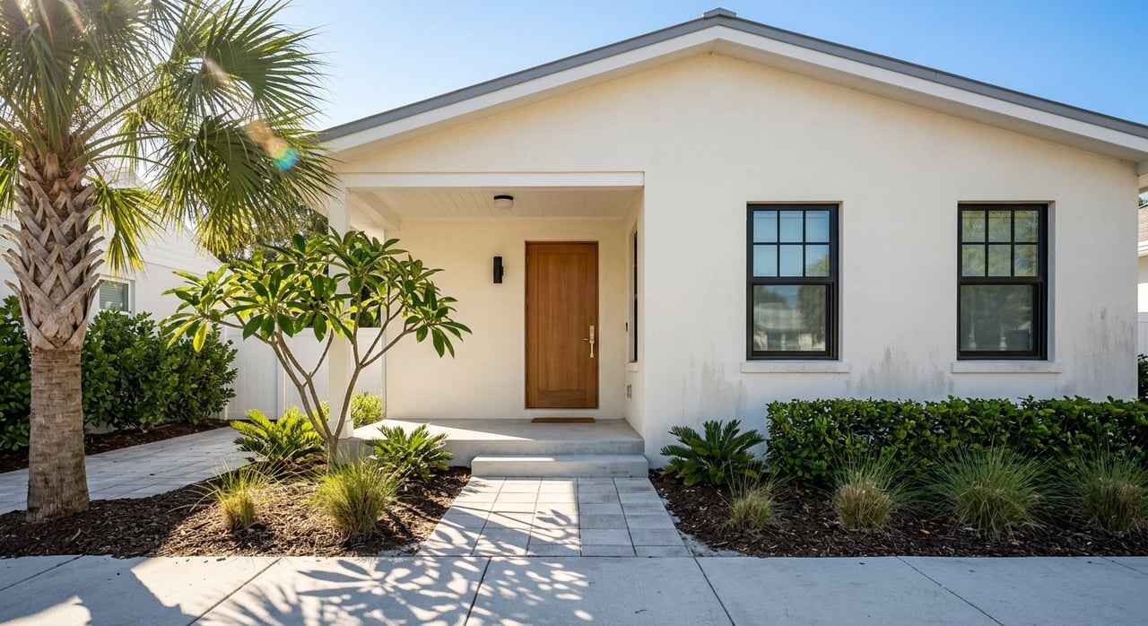
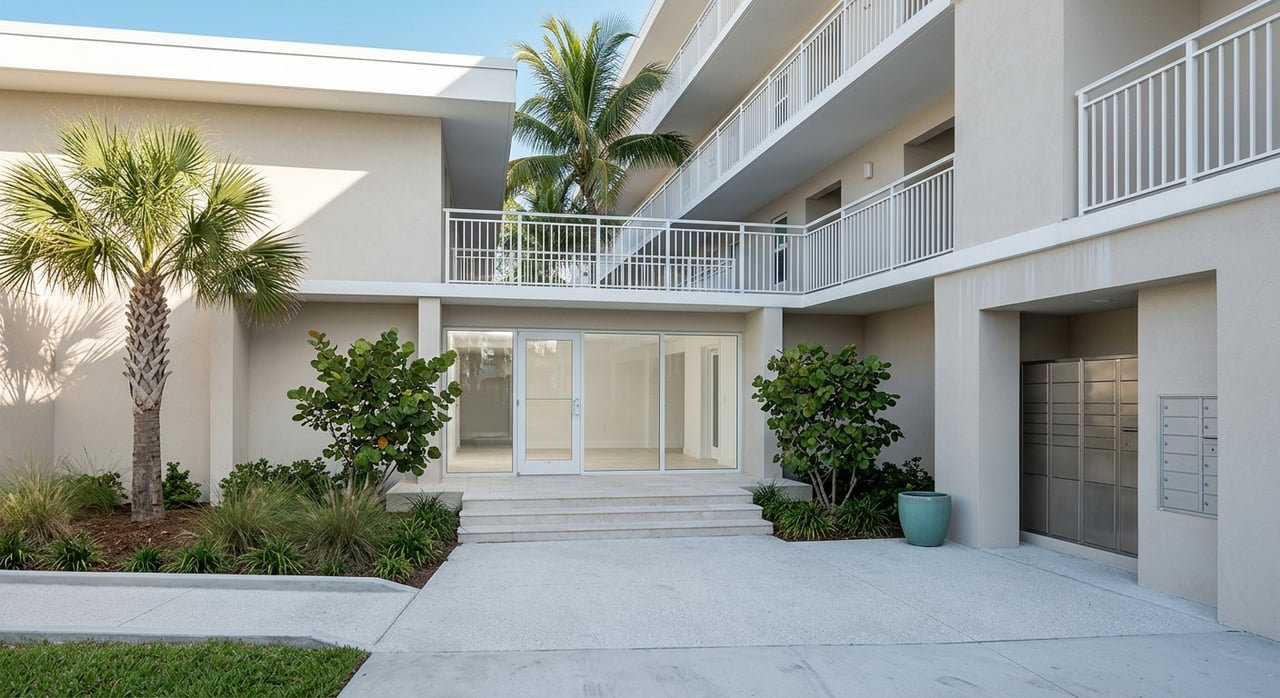
North Merritt Island tends to feel more canal-oriented and neighborhood-focused. County planning material describes this area as mostly single-family residential along and around North Banana River Drive, with many subdivisions dating to the 1960s and 1970s, some newer homes, and a few apartment and condo pockets near the south end of the study area.
This part of the island is often associated with boating, fishing, and easy access to water-focused living. County documents also describe it as having a small-town feel, which helps explain why many relocators are drawn to it when they want an established residential setting.
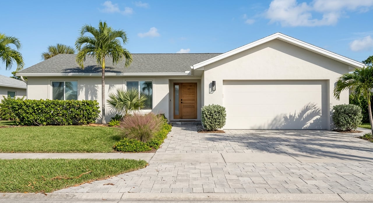
South of SR 520 is still predominantly residential, but the pattern changes a bit. County studies note a mix of 1960s and 1970s subdivisions, later development from the 1980s and 2000s, and some custom waterfront homes.
Commercial services are more concentrated near the SR 520 end of North Banana River Drive and the Triangle area. In practical terms, that means you are more likely to notice neighborhood-scale businesses, convenience retail, and service uses along those corridor areas while still being close to residential streets.
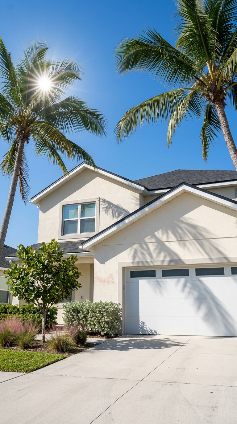
For relocation purposes, Merritt Island generally reads as an established, mostly single-family housing market with water access and corridor-based commercial nodes. That takeaway fits both the census data and county planning studies.
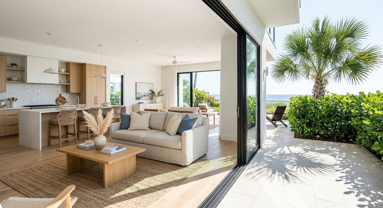
If you are coming from a master-planned or heavily new-construction market, Merritt Island may feel different in a good way. You are more likely to see mature subdivisions, varied home styles, and streets shaped by canals, riverfront lots, and long-term ownership patterns instead of a uniform new-build look.
The 81.0% owner-occupied rate is one of the clearest indicators of Merritt Island’s residential character, based on Census QuickFacts. While every street has its own rhythm, that level of owner occupancy often appeals to buyers who want an area that feels rooted and established.
For sellers and buyers alike, that can support a market where neighborhood condition, waterfront features, and exact location all matter. In Merritt Island, even small differences in water access or commute routes can shape your experience.
On Merritt Island, the commute story is heavily tied to bridges and causeways. FDOT exit information for I-95 shows SR 520 at exit 201 and SR 528 at exits 205A and 205B, which are key orientation points if you are commuting to the mainland or traveling across the county.
Brevard County also notes that it administers the Mathers Bridge on Merritt Island, and county park mapping places Intracoastal Waterway Park near the Hwy 520 Causeway and Hubert Humphrey Bridge. Those landmarks help you understand just how central SR 520 is to daily movement.
The census mean travel time to work is 24.5 minutes, but your real-world drive can vary a lot depending on where you work. A commute to a job on Merritt Island may feel very different from a drive to the mainland, Cape Canaveral, Cocoa Beach, or another Space Coast hub.
That is why relocators should think beyond city names and ask more detailed questions. Your route, bridge dependency, and proximity to SR 520 or SR 528 can affect not just drive time, but also your daily routine.
NASA states that Kennedy Space Center is on the northern part of Merritt Island, borders Merritt Island National Wildlife Refuge, and works with more than 90 private-sector partners and nearly 250 partnership agreements. County planning material identifies Kennedy Space Center as the area’s largest employer.
That regional employment presence is one reason Merritt Island often appeals to aerospace, defense, contractor, and relocation buyers. It also helps explain why housing decisions here are often tied to commute planning, not just home features.
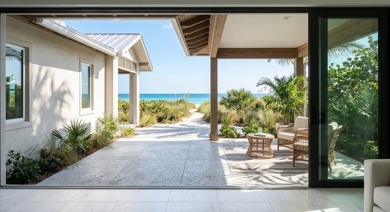
One of Merritt Island’s strongest lifestyle advantages is its access to parks, trails, water, and outdoor recreation. If you want your move to support time outside, Brevard County offers several useful landmarks for getting to know the area.
A few standouts include:
These locations help show that Merritt Island is not just a place to live. It is a place where boating, walking trails, birding, fishing, and waterfront recreation can become part of your everyday routine.
When you relocate, convenience matters just as much as scenery. Merritt Island has several county-supported services that can make your transition easier.
The Merritt Island Public Library offers free Wi-Fi, public computers, study rooms, and mobile printing. Brevard County Utility Services has a dedicated Merritt Island and Port St. John service line, and Brevard County Housing and Human Services also maintains an office on Merritt Island.
For many buyers, these details help turn a map search into a practical move plan. It is easier to picture daily life when you know where to handle utilities, library access, and county services.
Any relocation guide for Merritt Island should mention storm preparation. Brevard County emergency guidance specifically includes Merritt Island in its shelter planning information, including planning connected to barrier-island residents.
If you are moving from outside Florida, this is an important mindset shift. Hurricane readiness is simply part of living well in coastal and island-adjacent communities, and it is smart to learn your evacuation and shelter plan early.
If schools are part of your move, the most important step is to research them by exact address, not by neighborhood name alone. Brevard Public Schools directs families to use its School Site Locator to confirm zoned assignments, and the district notes that boundaries can change.
For example, the district’s 2024-2025 update moved part of the MILA Elementary attendance area to Lewis Carroll Elementary. That is a good reminder that school assignments should always be verified before you buy or lease.
Examples families may come across in Merritt Island include Lewis Carroll Elementary, Stevenson Elementary, Jefferson Middle, and Merritt Island High. Stevenson Elementary is identified by the district as a Choice School, which means you should not assume standard zoning applies there.
Brevard Public Schools is also a Florida Purple Star District, which is especially helpful context for military families relocating due to a change in duty station. If your move is tied to Patrick Space Force Base, Cape Canaveral Space Force Station, or another regional assignment, that district-wide support can be meaningful.
If you are trying to choose where to live on Merritt Island, start with a short list of priorities and map them against the island’s layout. This keeps the search practical and helps you avoid focusing only on photos.
Ask yourself:
Those answers can quickly help you decide whether you should focus more north, closer to corridor access, or in a specific residential pocket.
Merritt Island offers a very specific kind of Space Coast lifestyle. It is established, residential, and strongly shaped by water access, commute routes, and outdoor living. For many buyers, that combination is exactly the appeal.
If you are planning a move and want local guidance on how different parts of Merritt Island may fit your goals, Sandy Legere can help you sort through location, lifestyle, and property options with clear, practical insight.
Stay up to date on the latest real estate trends.


My knowledge of the area can save you the time and frustration of looking at homes that do not meet your needs. My marketing experience in selling homes provides results.
Get In Touch With Me To Learn More

1550 Highway A1A Satellite Beach, FL 32937