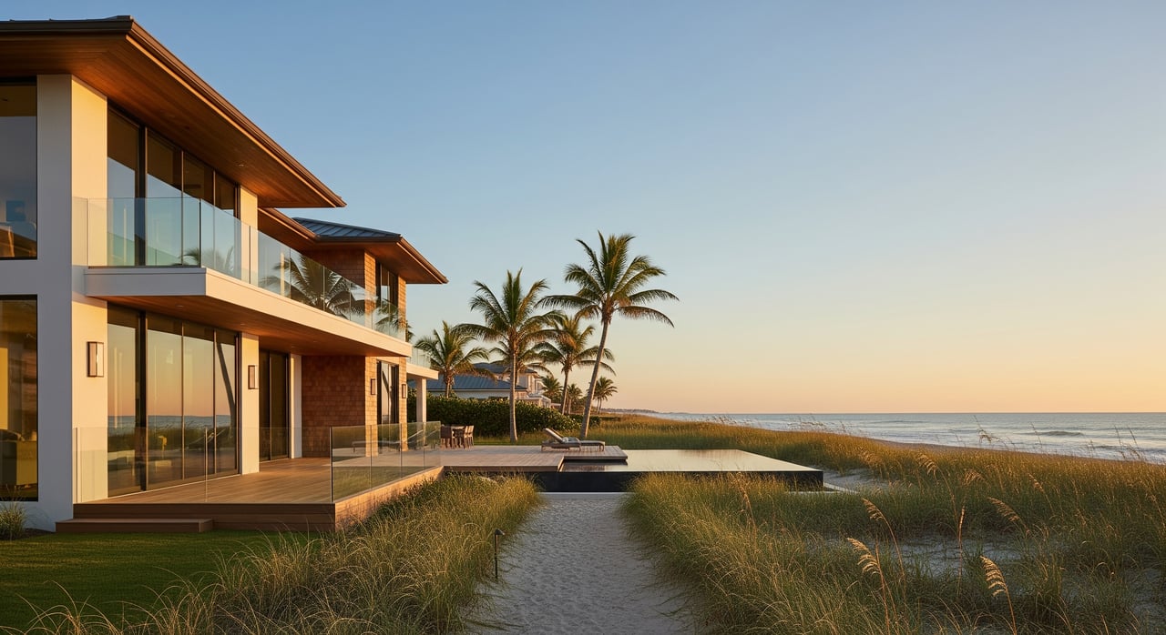
Commuting & Connectivity Around Indian Harbour Beach

Wondering how long it takes to get to the airport, catch a launch, or cross the causeway from Indian Harbour Beach? If you’re moving here or planning your daily routine, you want simple, local answers you can trust. In this guide, you’ll learn the best ways to get around, typical travel times, how beach parking works, and what to expect during rocket launches and hurricane season. Let’s dive in.
321Transit connects Indian Harbour Beach to nearby barrier‑island communities and the mainland. It’s a budget‑friendly option for routine trips if your schedule lines up with the routes.
Local beach corridor routes generally follow A1A and Eau Gallie Blvd with connections to mainland stops. Check maps, real‑time arrivals, and alerts in the official 321Transit trip planner or app before you go.
Fares are modest, with passes and mobile ticketing available. Buses are wheelchair lift equipped and carry bikes on front racks, which makes combining cycling with transit straightforward.
For time‑sensitive trips, evening returns, or Sundays, rideshare or driving can be more reliable because some beach routes run infrequently. For predictable commutes and errands, 321Transit is a practical, low‑cost choice.
MLB is your closest and most convenient airport for many domestic routes. MCO offers more airlines and destinations if you need broader options. If you’re flying into MLB and need wheels, on‑site counters for major brands make pickup easy. See available options and tips on MLB car rentals.
Indian Harbour Beach manages beach parking for Millennium and Bicentennial parks through a city program. Residents can register for a virtual, license‑plate parking pass so you can park in city lots without daily fees. Get details or register on the Park IHB page.
Most parks post open hours, and rules are enforced. On busy weekends, holidays, and launch days, lots fill quickly, so arrive early or be ready to walk from alternate parking.
Launches can create heavy, system‑wide traffic on A1A, causeways, and near popular viewing spots. Agencies issue traffic advisories and temporary road closures on launch days. Check updates before you head out using official Kennedy Space Center traffic notices.
Barrier‑island communities like IHB are part of Brevard County’s evacuation planning. In some storms, officials may issue mandatory evacuations and restrict bridge access. Review maps, plan your route, and sign up for alerts through Brevard County Emergency Management.
Summer tourism, spring break, major launches, and cruise movements at Port Canaveral can add time to your drive. Build in a buffer and use live traffic apps when timing matters.
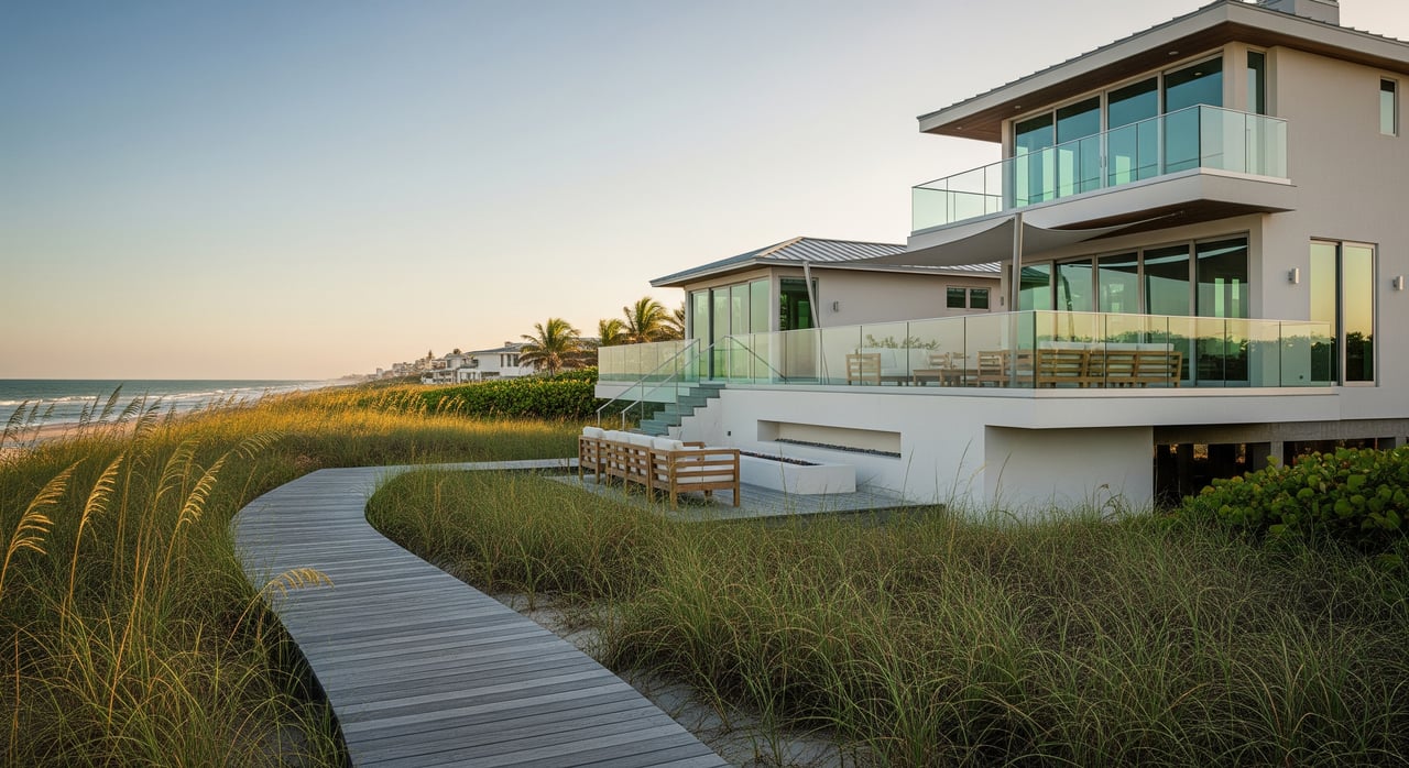
Many neighborhoods have sidewalks and easy access to parks, making short walks part of daily life. For a pleasant local loop, check the city’s Walking Path information.
Cycling is popular along the beach corridor, but conditions vary and some segments feel tight. Review regional context for the A1A Urban Trail and nearby routes on TrailLink’s overview, and ride defensively where lanes narrow.
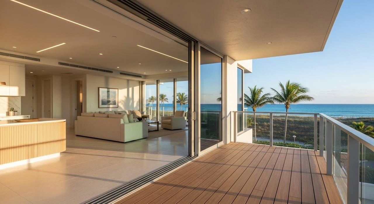
Ready to explore homes that fit your commute and weekend plans on the Space Coast? Reach out to Sandy Legere for local insight and a smooth move.
Stay up to date on the latest real estate trends.


Month’s supply of inventory is down to 1.5 months.
My knowledge of the area can save you the time and frustration of looking at homes that do not meet your needs. My marketing experience in selling homes provides results.
Get In Touch With Me To Learn More

1550 Highway A1A Satellite Beach, FL 32937